Loading interactive map…
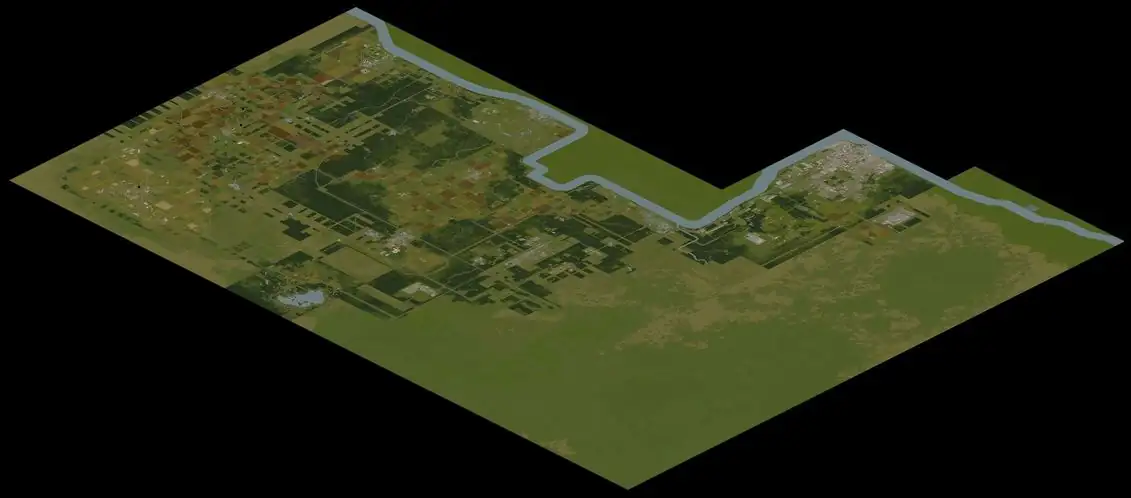
The map covers Knox County, a world of 19,968 by 16,128 squares, with 5,102 place markers in 99 layers. Among them: police stations (14), gun stores (30), medical buildings (66), pharmacies (29), gas stations (40) and grocery stores (58). 78 more layers hold 109,542 furniture and container pins, loaded when you switch them on. 12 overlays sit on top of the pins: cell grid, street names, zombie density, zombie types, danger rating, loot sites, calm place to live, foraging zones, vehicle spawn density, rivers & water, railways, roads & trails. 11 kinds of map zone (forest, farmland, ranches, loot zones and more) can be drawn as clickable areas, and the foraging overlay can show one kind of find at a time. The data is read from the Build 42.21 dedicated server files, not drawn by hand.
The county has 12 towns. Each has its own map page with the places inside it, counted from the same data.
The building finder knows 8,552 buildings and 560 room types. Pick a room type and every building that has one is outlined; click an outline for its rooms and floors. The floor-plan layer draws the rooms of every building, basements and upper floors included. To find loot, open the item finder: it locates 2,949 items and shows the rooms that spawn each one. The generator and sledgehammer guides use the same data.