Cookies.
We use essential cookies to keep auth and voting working. Optional analytics + error tracking help us improve. Choose what you're OK with — Essential + optional analytics. policycookie policy.
Loading interactive map…
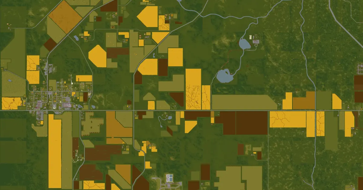
282 places on the map belong to Muldraugh, including 21 start points. A place counts as Muldraugh's when it is within 1,200 squares of the town's label on the in-game map.
Muldraugh has 1 police station, 1 medical site, 2 gas stations, 4 grocery stores, 1 electronics store, 1 tool store and 7 warehouses on the map — electronics stores are the only places whose loot tables hold generators.
Muldraugh grew as an Army town, but now welcomes folks from all walks of life: commuters to bigger towns like West Point and Rosewood, military families, and some living below the poverty line. Despite its small size Muldraugh boasts a sizable motel, a recently expanded primary school, a huge lumberyard, and the finest Spiffo burgers this side of Kentucky! Sure, not much happens here, but that doesn't mean Muldraugh life is dull...— the game's own description of Muldraugh
 1open them on the map
 1open them on the map
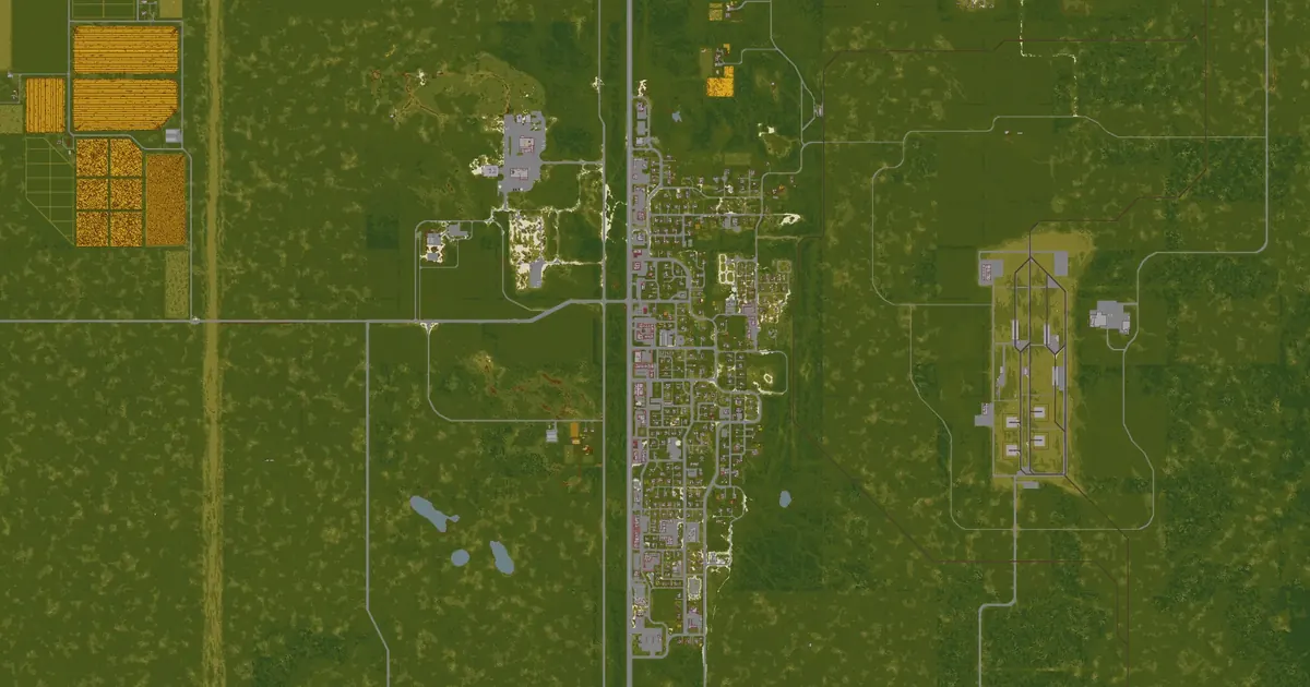
Muldraugh sits on the east side of Knox County, along one side of Route 31W. Its shops line the main strip on the Dixie Highway; homes — small houses and two trailer parks — spread out behind it, with a gated community at each end of town holding the richer houses.
The zombie population is large, but PZwiki notes that it gathers around a few key buildings, and that weapons and high-value loot are plentiful enough to make the town worth it.
Adapted from PZwiki, Muldraugh (CC BY-NC-SA 3.0); this section is shared under the same licence.
Each tile opens that layer on the county map.
Police stations in Muldraugh (1) Army surplus in Muldraugh (1)
 Gun lockers & armories in Muldraugh (3)Medical buildings in Muldraugh (1)
 Gas stations in Muldraugh (2)
 Grocery stores in Muldraugh (4)
 Tool stores in Muldraugh (1)
 Electronics stores in Muldraugh (1)
 Warehouses in Muldraugh (7)
 Car repair in Muldraugh (4)
 Named places in Muldraugh (2)
The game files give each building's rooms but not the name on its sign. These are the named businesses and landmarks PZwiki lists for Muldraugh, at the wiki's coordinates, each checked to sit at or next to a Build 42 building — open one on the map or copy the command that takes you there.
54 of 54 places
 Adult Education CenterEducationon the map
 BuffetRestauranton the map
 Clark StorageSelf storageon the map
 Coin Op LaundromatLaundromat+1 more locationon the map
 Conven-U-MartConvenience storeon the map
 Cortman MedicalMedical clinicon the map
 Family FashionClothing storeon the map
 First Baptist ChapelChapelon the map
 Food MarketGrocery storeon the map
 FossoilGas stationon the map
 Gas-2-GoGas stationon the map
 Greene'sGrocery storeon the map
 H. Smith AttorneyLaw firmon the map
 Hit Vids!Movie rentalon the map
 Holy Grace ChurchChurchon the map
 Jay's ChickenFast foodon the map
 Knox BankBankon the map
 L&B WarehousingWarehouseson the map
 Liquorty-SplitLiquor storeon the map
 Mass-Genfac Co.Warehouseon the map
 McCoy Logging Co.Logging yard, factories+1 more locationon the map
 Pile o' CrepePancake houseon the map
 Pizza WhirledPizzeriaon the map
 Secure StorageSelf storageon the map
 Smokey's Saloon & RestaurantBaron the map
 Spiffo'sFast foodon the map
 Sunstar MotelMotelon the map
 Tattoo 42Tattoo parloron the map
 The Rusty RifleBaron the mapThe Rusty RifleMotelon the map
 U-Store ItSelf storageon the map
 Waites MotelMotelon the map
 Zippee MarketConvenience storeon the map
Names, coordinates and shop signs from PZwiki, Muldraugh (CC BY-NC-SA 3.0), shared under the same licence.
The game's building files put 466 buildings with 2,813 rooms within 1,200 squares of Muldraugh's label, of 151 kinds. These kinds of room are in no more than one other town:
The closest of each, anywhere in Knox County, measured in a straight line from the town's label.
Police stationPolice station · 494 squaresMedical buildingMedical clinic · 161 squares PharmacyPharmacy · in March Ridge, 2,896 squaresGas stationFossoil gas station, gas station · 209 squaresGrocery storeGrocery store · 139 squares
 Gun storeGun store · countryside, 2,976 squaresElectronics storeElectronics store · 346 squaresTool storeTool store · 415 squares
 Fire stationFire station · in Rosewood, 3,185 squares
 Military siteMilitary site · in Fallas Lake, 3,857 squares
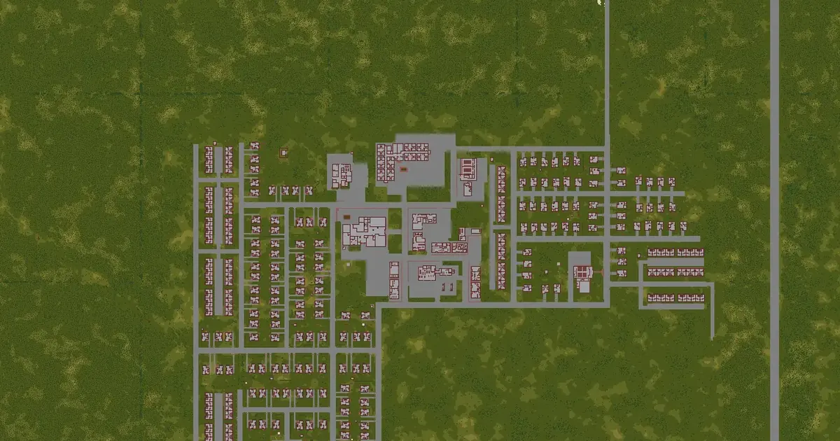 March Ridge map2,942 squares away
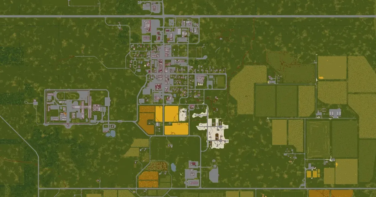 Rosewood map3,122 squares away
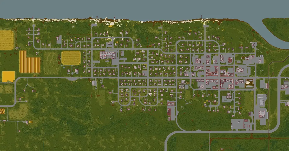 West Point map3,192 squares away
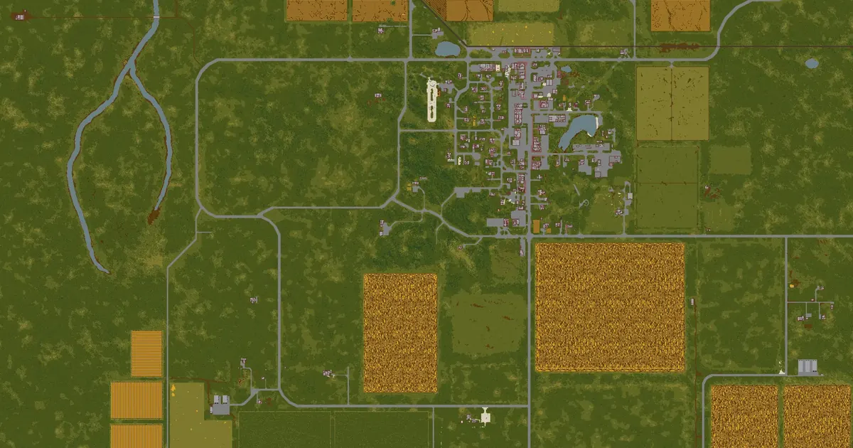 Fallas Lake map3,869 squares away
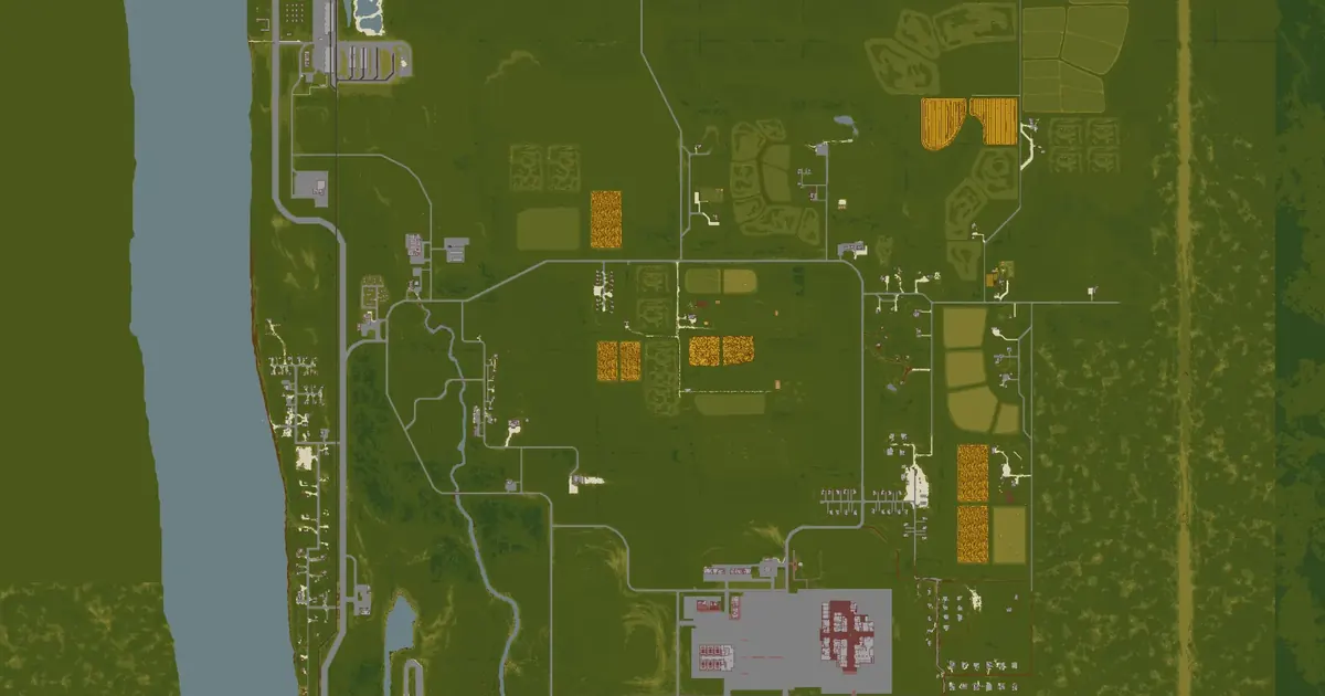 Valley Station map5,372 squares away
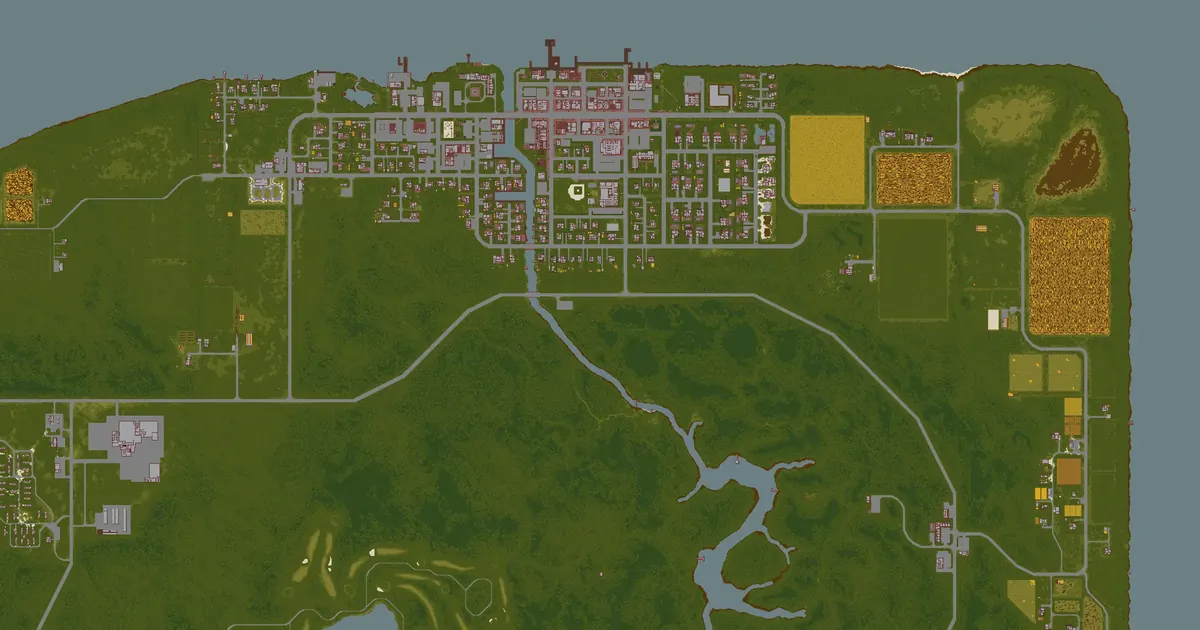 Riverside map6,224 squares away
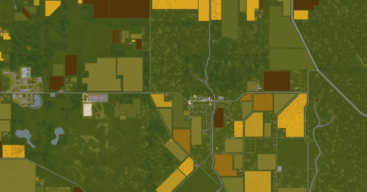 Echo Creek map7,238 squares away
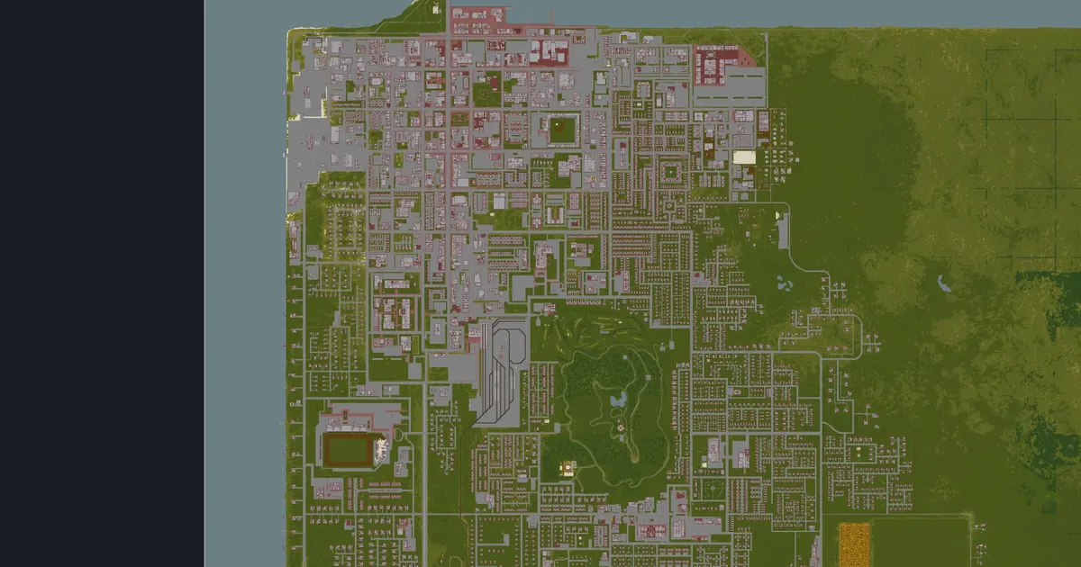 Louisville map8,031 squares away
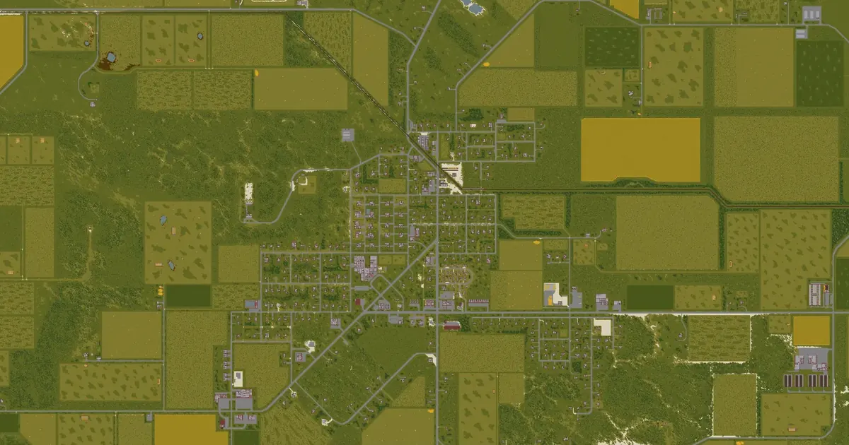 Irvington map9,353 squares away
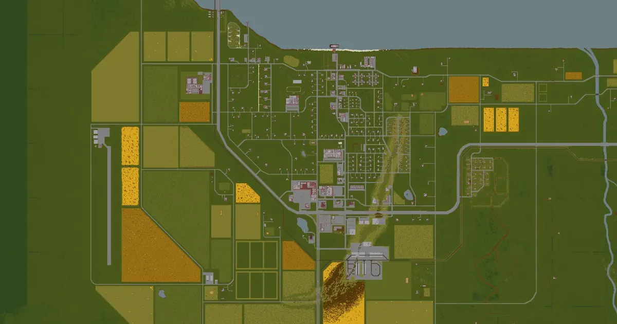 Brandenburg map9,514 squares away
 Ekron map10,122 squares away