Cookies.
We use essential cookies to keep auth and voting working. Optional analytics + error tracking help us improve. Choose what you're OK with — Essential + optional analytics. policycookie policy.
Loading interactive map…
404 places on the map belong to Rosewood, including 20 start points. A place counts as Rosewood's when it is within 1,200 squares of the town's label on the in-game map.
Rosewood has 1 police station, 2 gun stores, 7 medical sites, 2 gas stations, 4 grocery stores, 8 tool stores and 6 warehouses on the map.
A short stay here is pleasant, but a long one? Well, the inmates of the infamous Rosewood State Prison will tell you that's a little less fun. Ideally situated for ease of access, Rosewood is a community hub for administration and community services. The county courthouse, fire department, and lively law enforcement facility were all recently refurbished - making this one of the most important towns in the area! Come visit today!— the game's own description of Rosewood
 1open them on the map
 7open them on the map
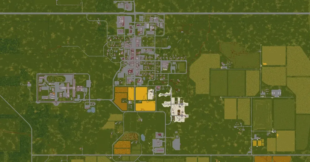
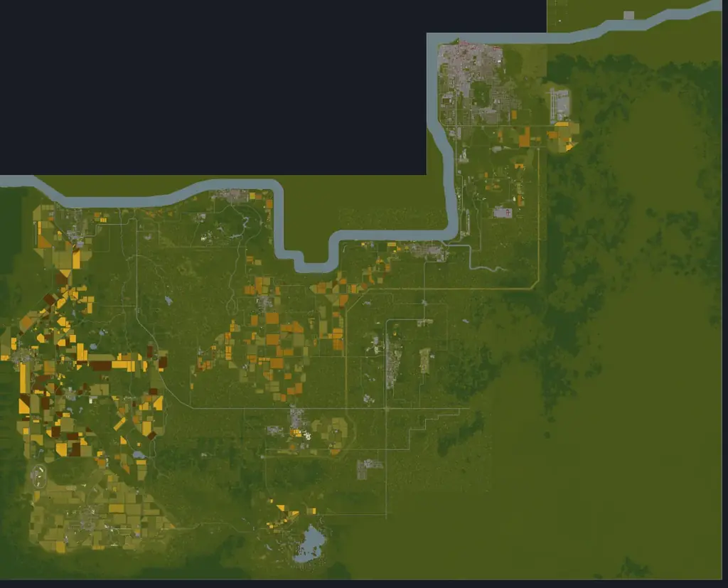
Rosewood is a small town in the south of Knox County, on Kentucky 60 where North Main Street runs into town. Forest closes in on almost every side and farmsteads fill the southern edge, so foraging and trapping ground is close — open water is not. The Kentucky State Prison stands just west of town, and the roads lead on to Muldraugh in the north-east and March Ridge in the south-east.
PZwiki rates it a medium-difficulty start in Build 42: harder than Riverside, easier than West Point. Build 42 moved much of the zombie population off the surrounding forest and onto Main Street and the fire station, which is why the wiki no longer calls Rosewood a safe first town.
Adapted from PZwiki, Rosewood (CC BY-NC-SA 3.0); this section is shared under the same licence.
Each tile opens that layer on the county map.
Police stations in Rosewood (1) Gun stores in Rosewood (2)
 Hunting stores in Rosewood (2)
 Gun lockers & armories in Rosewood (1)Medical buildings in Rosewood (7)
 Fire stations in Rosewood (1)
 Gas stations in Rosewood (2)
 Grocery stores in Rosewood (4)
 Tool stores in Rosewood (8)
 Warehouses in Rosewood (6)
 Car repair in Rosewood (9)
 Farming stores in Rosewood (1)
 Survivalist camps in Rosewood (1)
 Rich loot areas in Rosewood (2)
 Named places in Rosewood (1)
The game files give each building's rooms but not the name on its sign. These are the named businesses and landmarks PZwiki lists for Rosewood, at the wiki's coordinates, each checked to sit at or next to a Build 42 building — open one on the map or copy the command that takes you there.
49 of 49 places
 Book NakedBook storeon the map
 Bright Flag InnBar /innon the map
 FashionaBelleClothing storeon the map
 FossoilGas stationon the map
 GigaMartSupermarketon the map
 Haircuts n' MoreHairdresser/barber shopon the map
 Jenny's TableRestauranton the map
 Kentucky Court of JusticeGovernment buildingon the map
 Kentucky State PrisonPrisonon the map
 Knox BankBankon the map
 Little Gas StopGas stationon the map
 Mama McFudgington'sCaféon the map
 Marple & Christie Legal ServicesOfficeon the map
 Onyx Drive-In TheaterMovie theateron the map
 Palm TravelOfficeon the map
 Pizza WhirledFast Foodon the map
 Rosewood Country BuffetRestauranton the map
 Rosewood MedicalMedical clinicon the map
 Spiffo'sFast Foodon the map
 Zippee MarketConvenience storeon the map
Names, coordinates and shop signs from PZwiki, Rosewood (CC BY-NC-SA 3.0), shared under the same licence.
The game's building files put 305 buildings with 3,308 rooms within 1,200 squares of Rosewood's label, of 146 kinds. These kinds of room are in no more than one other town:
The closest of each, anywhere in Knox County, measured in a straight line from the town's label.
Police stationPolice station · 117 squaresMedical buildingMedical clinic · 79 squares PharmacyPharmacy · in March Ridge, 2,271 squaresGas stationFossoil gas station · 525 squaresGrocery storeGrocery store · 52 squaresGun storeGun store · 252 squares
 Electronics storeElectronics store · in Muldraugh, 3,197 squaresTool storeTool store · 37 squaresFire stationFire station · 90 squares
 Military siteMilitary site · in Fallas Lake, 3,467 squares
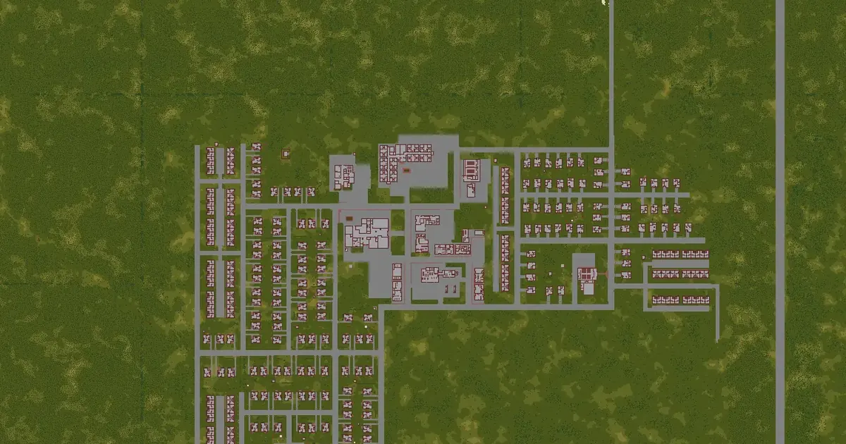 March Ridge map2,277 squares away
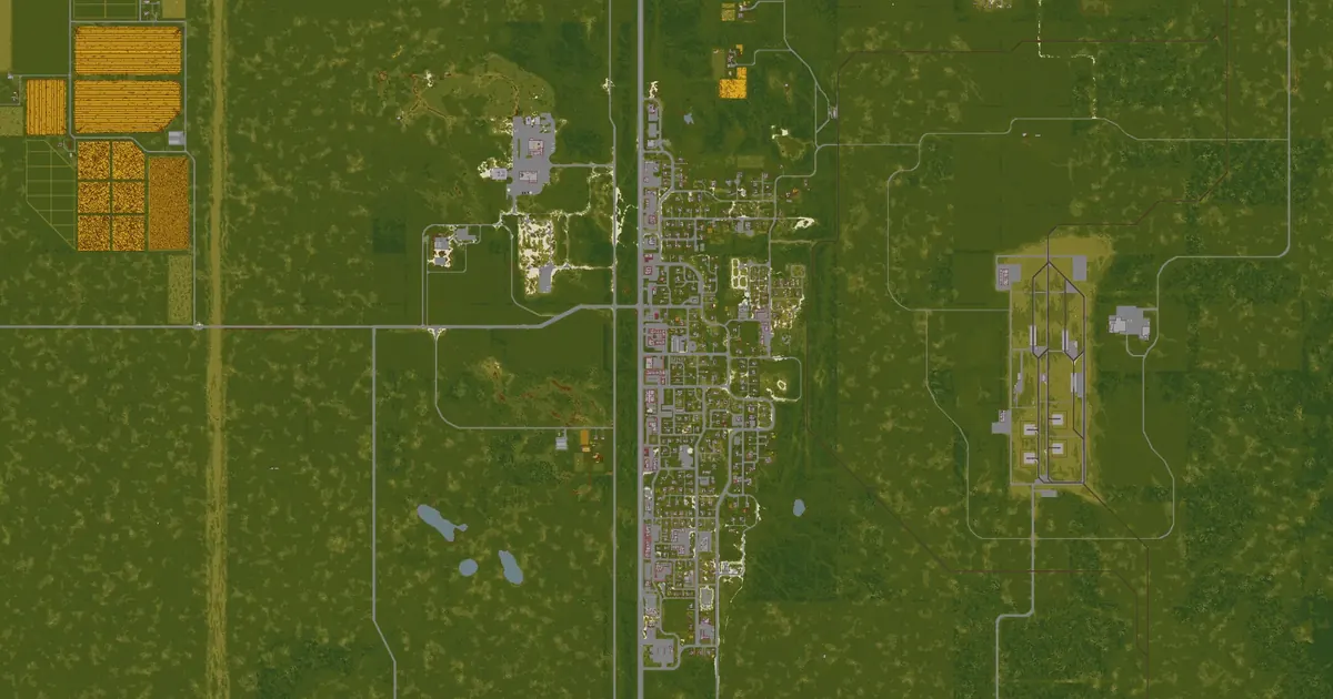 Muldraugh map3,122 squares away
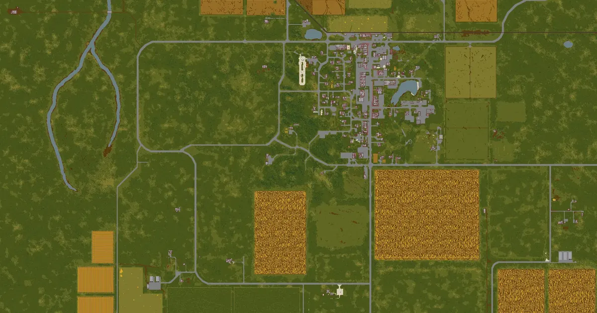 Fallas Lake map3,501 squares away
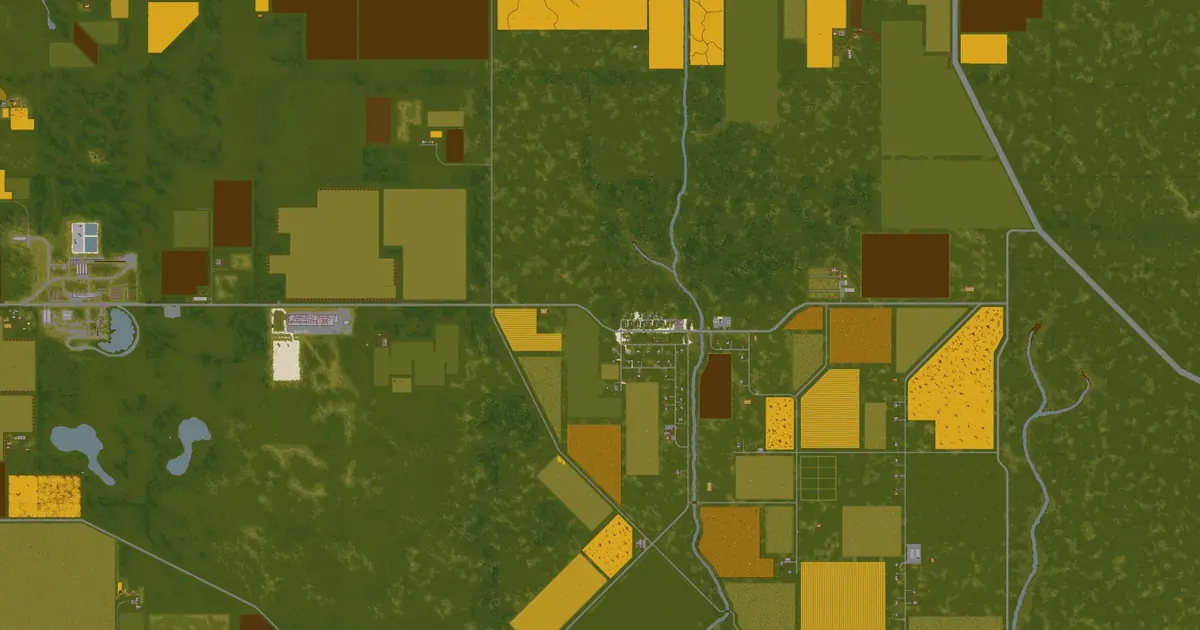 Echo Creek map4,625 squares away
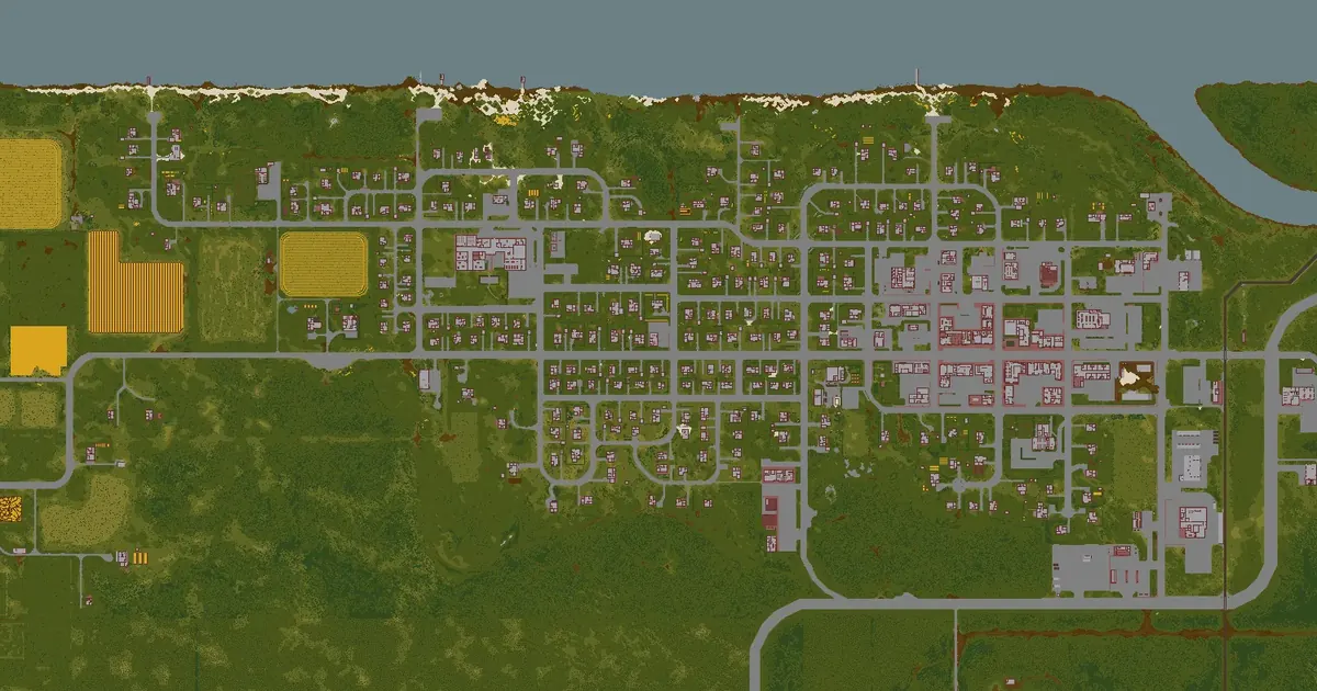 West Point map5,935 squares away
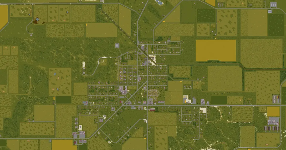 Irvington map6,263 squares away
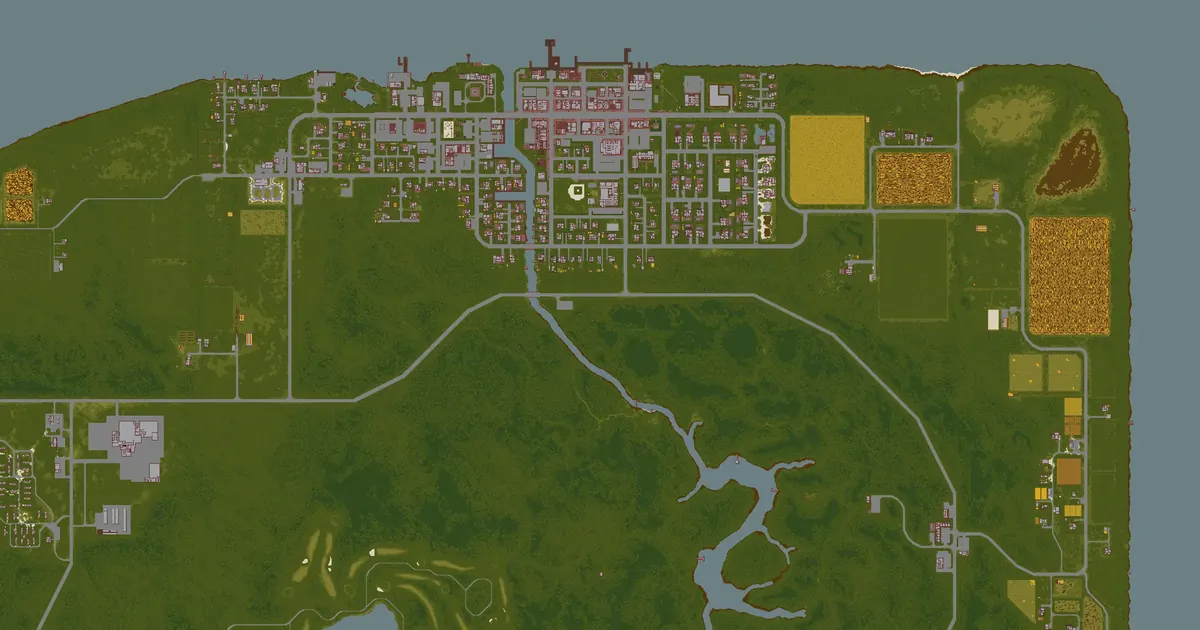 Riverside map6,461 squares away
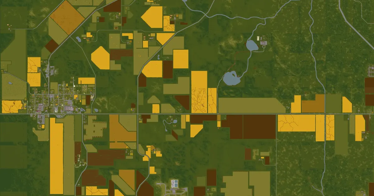 Ekron map7,765 squares away
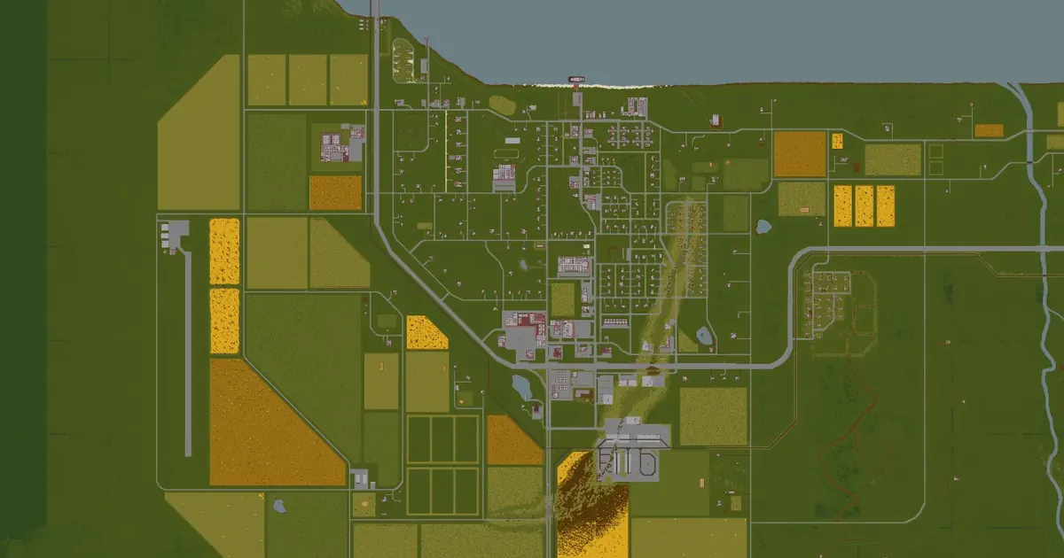 Brandenburg map8,277 squares away
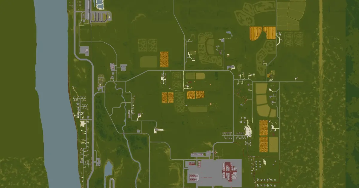 Valley Station map8,289 squares away
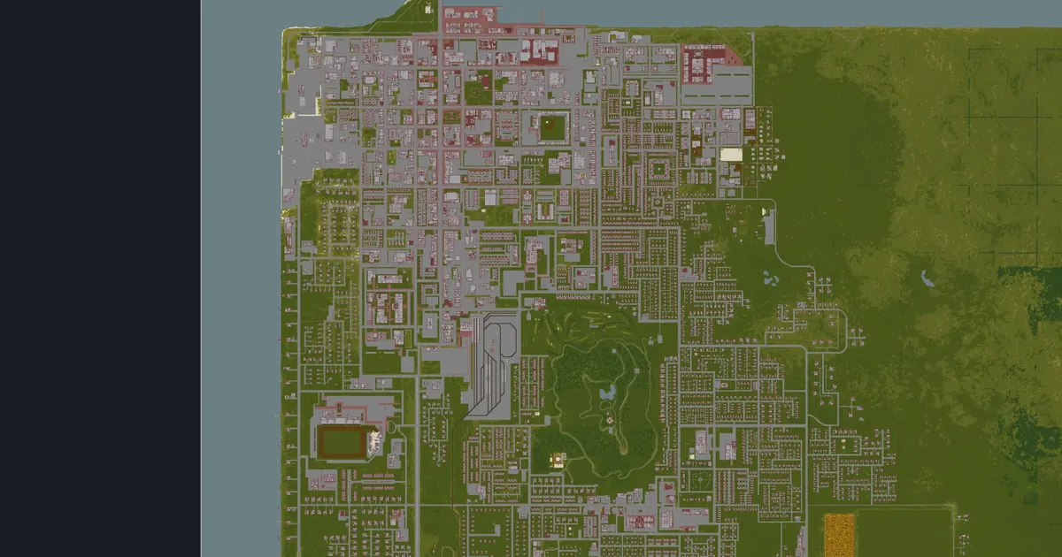 Louisville map10,629 squares away