Cookies.
We use essential cookies to keep auth and voting working. Optional analytics + error tracking help us improve. Choose what you're OK with — Essential + optional analytics. policycookie policy.
Loading interactive map…
769 places on the map belong to Louisville — the game has no start points here. A place counts as Louisville's when it is within 1,200 squares of the town's label on the in-game map.
Louisville has 6 police stations, 8 gun stores, 27 medical sites, 16 pharmacies, 10 gas stations, 25 grocery stores, 4 electronics stores, 13 tool stores and 3 warehouses on the map — electronics stores are the only places whose loot tables hold generators. That is the most police stations, medical buildings, gun stores, electronics stores, gas stations, grocery stores of any town in Knox County.
 6open them on the map
 27open them on the map
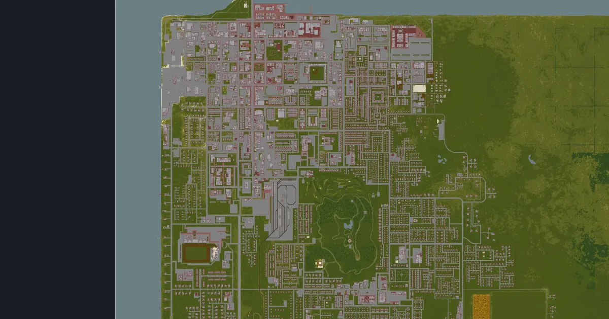
Louisville is the largest city in Knox County, at the north edge of the map. Its size means more of everything: two major hospitals, a large police station with a prison attached, several fire stations and the head offices of the county's big chains — and a high zombie population to match.
The in-game map labels it by district rather than by street, so PZwiki describes it the same way.
Adapted from PZwiki, Louisville (CC BY-NC-SA 3.0); this section is shared under the same licence.
Each tile opens that layer on the county map.
Police stations in Louisville (6) Gun stores in Louisville (8)
 Army surplus in Louisville (1)
 Gun lockers & armories in Louisville (4)Medical buildings in Louisville (27)
 Pharmacies in Louisville (16)
 Fire stations in Louisville (4)
 Gas stations in Louisville (10)
 Grocery stores in Louisville (25)
 Tool stores in Louisville (13)
 Electronics stores in Louisville (4)
 Warehouses in Louisville (3)
 Car repair in Louisville (12)
 Farming stores in Louisville (3)
 Survivalist camps in Louisville (2)
 Named places in Louisville (11)
The game files give each building's rooms but not the name on its sign. These are the named businesses and landmarks PZwiki lists for Louisville, at the wiki's coordinates, each checked to sit at or next to a Build 42 building — open one on the map or copy the command that takes you there.
455 of 455 places
 5 Bux or LessCorner storeon the map5 Bux or LessCorner storeon the map
 A&S Trading Co.Officeon the map
 A-1 LaundryLaundromaton the mapA-1 LaundryLaundromaton the map
 A.A. Ron Hunting SupplyGun storeon the map
 Aitor Wire CompanyFactoryon the map
 Al's Ales and AllBaron the map
 Al's Auto ShopMechanicon the map
 Alliance Data EntryOfficeon the map
 American EatsRestauranton the map
 American TireAuto parts storeon the mapAmerican TireAuto parts storeon the map
 Awl Work and Sew PlaySewing storeon the mapAwl Work and Sew PlaySewing store+1 more locationon the mapAwl Work and Sew PlaySewing storeon the mapAwl Work and Sew PlaySewing storeon the map
 Barber of YorkeHair dresseron the map
 Barber+StylingHair dresseron the map
 Barg-N-ClothesClothing storeon the mapBarg-N-ClothesClothing storeon the map
 Bateman Office BuildingOfficeon the map
 BBBQGrill storeon the mapBBBQGrill storeon the map
 BE BeautyNail salonon the map
 Beer & LiquorLiquor storeon the mapBeer & LiquorLiquor storeon the mapBeer & LiquorLiquor storeon the mapBeer + LiquorLiquor storeon the map
 Beever'sBaron the map
 Bernard's Book EmporiumBook storeon the map
 Better FurnishingsFurniture storeon the mapBetter FurnishingsFurniture storeon the map
 Bible Spirit Baptist ChurchChurchon the map
 Black LiquoriceBaron the map
 Blue Plate DinerRestauranton the map
 Book NakedBook storeon the mapBook NakedBook storeon the mapBook NakedBook storeon the map
 Bow Wow Wow! Dog NutritionFactoryon the map
 BoxPop BreweryBreweryon the map
 Brac Brick FactoryFactoryon the map
 Brighted WhitesLaundromaton the map
 BuffetRestauranton the map
 BurgersRestaurant+1 more locationon the mapBurgersStallon the mapBurgersRestauranton the mapBurgersStallon the map
 Cafe d'ErisCaféon the map
 Cafe of WondersCaféon the map
 Cally's GiftsGift store+1 more locationon the mapCally's GiftsGift storeon the mapCally's GiftsGift storeon the map
 CandyTown, USACandy storeon the map
 Canto RecordsRecording studioon the map
 Car Fix-ationMechanicon the mapCar Fix-ationMechanicon the map
 Cardinal PlazaMallon the map
 Central Louisville Community CenterCommunity centeron the map
 Chapelmount DownsHorse trackon the map
 Chugg'sBreweryon the map
 Church of the Risen ChristChurchon the map
 Churns-R-UsRestauranton the mapChurns-R-UsRestauranton the mapChurns-R-UsRestauranton the map
 Coffee NirvanaCaféon the map
 Coin Op LaundromatLaundromat+1 more locationon the mapCoin Op LaundromatLaundromaton the map
 Conven-U-MartGrocery store+1 more locationon the mapConven-U-MartConvenience storeon the map
 Deep Fried HeavenFast foodon the map
 Di MarcoBakeryon the map
 Discount AccountOfficeon the mapDiscount AccountOfficeon the map
 Dotty 4 DonutsRestauranton the map
 Dressed to the 90sClothing storeon the mapDressed to the 90sClothing storeon the map
 E. Wrayburn BuildingOfficeon the map
 E.P. ToolsHardware storeon the mapE.P. ToolsHardware storeon the mapE.P. ToolsHardware storeon the map
 EgenerexFactoryon the map
 Electron HouseElectronics storeon the mapElectron HouseElectronics storeon the map
 Emma's EateryRestauranton the map
 Evergreen Hill Community CenterCommunity centeron the map
 Evergreen Public SchoolSchoolon the map
 Expresso EspressCafé+2 more locationson the map
 E¢ono Room$Motelon the mapE¢ono Room$Motelon the map
 Family DentistryDentiston the map
 Family FashionClothing storeon the mapFamily FashionClothing storeon the map
 Family FunzoneKids play centeron the map
 FashionaBelleClothing storeon the mapFashionaBelleClothing storeon the map
 Filigree FashionsClothing storeon the map
 Finnegan Research GroupOfficeon the map
 First Train InnMotelon the map
 Food MarketGrocery storeon the mapFood MarketGrocery storeon the mapFood MarketGrocery storeon the mapFood MarketGrocery storeon the map
 Forno Della MammaRestauranton the map
 FossoilGas stationon the mapFossoilGas stationon the mapFossoilGas stationon the mapFossoilGas stationon the mapFossoilGas stationon the map
 From the DugoutGift shopon the map
 Fryer Tooks Fish N' ChipsRestauranton the map
 Gas-2-GoGas station+1 more locationon the mapGas-2-GoGas stationon the mapGas-2-GoGas stationon the mapGas-2-GoGas stationon the mapGas-2-GoGas stationon the map
 Genny's DinerDineron the map
 GigaMartSupermarketon the mapGigaMartSupermarketon the mapGigaMartSupermarket/Gas stationon the map
 Go FlashCamera storeon the mapGo FlashCamera storeon the map
 Golden Dragon BuffetRestauranton the map
 Greene'sGrocery store+3 more locationson the mapGreene'sGrocery storeon the mapGreene'sGrocery storeon the mapGreene'sGrocery storeon the map
 Gusto D'ItaliaRestauranton the map
 Hair O GenesisHair dresseron the mapHair O GenesisHair dresseron the mapHair O GenesisHair dresseron the mapHair O GenesisHair dresseron the map
 Haircuts n' MoreHair dresser+1 more locationon the map
 Happy RestaurantRestauranton the map
 Have a Butcher'sButcher+1 more locationon the mapHave a Butcher'sButcheron the map
 Hickory Bakery BoxBakeryon the map
 Hit Vids!VHS store+1 more locationon the mapHit Vids!VHS storeon the mapHit Vids!VHS storeon the map
 Holy Haven CemetaryCemetaryon the map
 Homeward Real EstateOfficeon the mapHomeward Real EstateOfficeon the map
 Hugo PlushClothing store+1 more locationon the mapHugo PlushClothing storeon the mapHugo PlushClothing storeon the map
 Ice Ice TastyRestauranton the map
 Inkr AlleyTattoo parloron the map
 Jaime's Jam DelightsBakeryon the map
 Jay's ChickenRestaurant+1 more locationon the mapJay's ChickenRestauranton the mapJay's ChickenRestauranton the mapJay's ChickenRestauranton the mapJay's ChickenFast foodon the map
 Jim's AutoshopMechanicon the map
 Jimmy's Pre-owned CarsCar dealershipon the mapJimmy's Pre-owned CarsCar dealershipon the map
 KegsplosionLiquor storeon the map
 Kitten KnivesFactoryon the map
 Knox BankBankon the mapKnox BankBankon the mapKnox BankBankon the map
 Knox DistilleryBreweryon the map
 Knox Pack KitchensFactoryon the map
 KnoxTalk RadioRadio stationon the map
 KY TransitBus stationon the map
 L&B WarehousingWarehouseon the map
 La Vie En GastronomieGrocery storeon the map
 LacesShoe storeon the map
 Laundr-O-MaxLaundromaton the map
 LBMW NetworkTV stationon the map
 Leafhill Heights Elementary SchoolSchoolon the map
 Leafhill Heights OfficesOfficeon the map
 Liquorty-SplitLiquor storeon the mapLiquorty-SplitLiquor storeon the mapLiquorty-SplitLiquor storeon the map
 Lola LimonClothing storeon the mapLola LimonClothing storeon the map
 Louisville Animal HospitalVeton the map
 Louisville Animal ShelterAnimal shelteron the map
 Louisville General HospitalHospitalon the map
 Louisville State UniversityAthletics centeron the mapLouisville State UniversityRestauranton the mapLouisville State UniversitySchoolon the mapLouisville State UniversitySchoolon the map
 Louisville Train StationTrain stationon the map
 LSU LibraryLibraryon the map
 Maison du BoeufRestauranton the map
 Mama McFudgington'sRestauranton the map
 Maps UnlimitedMap storeon the map
 Mass-Genfac Co.Factoryon the mapMass-Genfac Co.Warehouseon the map
 Mead, Drink and Bloody MerryBreweryon the map
 Med U WellMedical centeron the mapMed U WellPharmacyon the map
 Milk 'N' MoreConvenience storeon the mapMilk 'N' MoreGrocery storeon the mapMilk 'N' MoreGrocery storeon the mapMilk 'N' MoreGrocery storeon the map
 Milk MonarchyRestauranton the map
 Millhauser Office BuildingOfficeon the map
 MindPeace InsuranceOfficeon the map
 Mounted Police TrainingPolice training centeron the map
 My Sunday MarketGrocery storeon the map
 Nat's CafeCaféon the map
 Neon Flower SalonHair dresseron the map
 Newton Freight WarehouseWarehouseon the map
 NoteworthyMusic storeon the map
 Nourish Food MartConvenience storeon the map
 O'Brien's KitchenRestauranton the map
 Ol' ScratchBaron the map
 Olympia Department StoreDepartment storeon the map
 Optima EyesOptometriston the map
 Orio Office PlaceOfficeon the map
 Palette Pop! Art SuppliesArt storeon the mapPalette Pop! Art SuppliesArt storeon the map
 Palm TravelOfficeon the map
 Pawn $$$hopPawn shopon the map
 Perfick Potato Co.Factoryon the map
 Pet Health PawmiseVeton the map
 PharmahugPharmacy+1 more locationon the mapPharmahugPharmacyon the mapPharmahugPharmacyon the mapPharmahugPharmacyon the map
 Phil's Fine & Fair Pawn ShopPawn shopon the map
 Pile o' CrepeRestaurant+2 more locationson the mapPile o' CrepeRestauranton the map
 Pizza WhirledRestaurant+2 more locationson the mapPizza WhirledRestauranton the mapPizza WhirledRestauranton the mapPizza WhirledRestauranton the mapPizza WhirledRestaurant+1 more locationon the mapPizza WhirledStallon the mapPizza WhirledRestauranton the mapPizza WhirledPizza parloron the map
 Posh BoxClothing storeon the map
 Purple + BlackClothing Storeon the map
 Purrfect Barkner Pet SuppliesPet storeon the map
 R. Johnson Office BuildingOfficeon the map
 Ready PrepSurplus storeon the map
 Red Brick RestaurantRestauranton the map
 Red Owl InnMotelon the map
 Reed Office BuildingOfficeon the map
 Rely Manufacturing Co.Factoryon the map
 Sammie'sDepartment storeon the map
 Sanguine SpiritsBreweryon the map
 Sasha SashayClothing storeon the map
 SaucyClothing storeon the map
 Scarlet Oak DistilleryFactoryon the mapScarlet Oak DistilleryWhiskey distilleryon the map
 Seahorse CoffeeCafé+7 more locationson the mapSeahorse CoffeeCaféon the mapSeahorse CoffeeCaféon the mapSeahorse CoffeeCoffee shopon the map
 Seat Yourself FurnitureFurniture storeon the map
 Secure StorageStorage facilityon the map
 Shady Oaks Nursing HomeNursing homeon the map
 Shaken and StirredBaron the map
 Sheba JewellersJewelery storeon the mapSheba JewellersJewelery storeon the map
 Shoed for the StarsClothing store+1 more locationon the map
 Sky Blue BankingBankon the map
 Sleep EazZze InnMotelon the mapSleep EazZze InnMotelon the map
 Snacks stallStallon the map
 Sooky'sRestauranton the map
 South Louisville ElementarySchoolon the map
 Speedy LegalOfficeon the map
 Spiffo'sRestaurant+1 more locationon the mapSpiffo'sRestauranton the mapSpiffo'sRestauranton the mapSpiffo'sRestauranton the mapSpiffo'sRestauranton the mapSpiffo'sFast foodon the map
 Spitfire FashionClothing storeon the map
 St. Michael's CathedralChurchon the map
 St. Vincent De Paul ChurchChurchon the map
 Steely Revolve Metal WorkingFactoryon the map
 Sucrafruit CircusCandy storeon the map
 Sunset Pines Funeral HomeFuneral homeon the map
 Supper DelightRestauranton the map
 Sweet Eats!Restauranton the map
 Sweet Pea RestaurantRestauranton the map
 Sweet Sugar BeautyHair dresseron the map
 T.I.S. ConstructionOfficeon the map
 Taco del PanchoRestauranton the mapTaco del PanchoRestauranton the map
 Tastee FoodzRestauranton the map
 Tattoo 42Tattoo parloron the map
 Temp AgencyOfficeon the map
 The Black SaddleBaron the map
 The Blue FoxBaron the map
 The Exquisite PearlJewelery storeon the map
 The Havisham Hotel SuitesHotelon the map
 The Plump CornucopiaGrocery storeon the map
 The Real SweatGymon the map
 The Sea ShantyRestauranton the map
 The SluggerBaron the map
 The Top HangerClothing storeon the map
 The Velvet TasselStrip clubon the map
 The Wandering SashimiRestauranton the map
 The Wooden SteinRestauranton the map
 Thumbs of GreenGarden storeon the map
 Tim's BakeryBakeryon the map
 Time 4 SportSporting goodson the mapTime 4 SportSporting goodson the map
 Tomcat TavernBaron the map
 Topcrown PlazaOfficeon the map
 Toyz Toyz ToyzToy storeon the mapToyz Toyz ToyzToy storeon the mapToyz Toyz ToyzToy storeon the map
 TURBO TVTV stationon the map
 U-Store ItStorage facilityon the mapU-Store ItStorage facilityon the map
 U.S. Mail ServicePost officeon the mapU.S. Mail ServiceWarehouseon the mapU.S. Mail ServicePost serviceon the map
 United Shipping LogisticsOfficeon the mapUnited Shipping LogisticsWarehouseon the mapUnited Shipping LogisticsOfficeon the map
 ValuTechFactoryon the map
 WindowFurniture storeon the map
 Worm of BooksBook storeon the map
 Your ClosetClothing storeon the map
 YummmersRestauranton the map
 Yuri DesignClothing storeon the map
 Zac's HardwareHardware storeon the mapZac's HardwareHardware storeon the map
 Zippee MarketConvenience store+6 more locationson the mapZippee MarketConvenience storeon the mapZippee MarketCorner storeon the mapZippee MarketSupermarketon the mapZippee MarketSupermarketon the mapZippee MarketSupermarketon the map
 Zlatko'sRestauranton the map
Names, coordinates and shop signs from PZwiki, Louisville (CC BY-NC-SA 3.0), shared under the same licence.
The game's building files put 3,232 buildings with 49,048 rooms within 1,200 squares of Louisville's label, of 309 kinds. These kinds of room are in no more than one other town:
The closest of each, anywhere in Knox County, measured in a straight line from the town's label.
Police stationPolice building · 590 squaresMedical buildingDentist · 206 squaresPharmacyPharmacy · 123 squaresGas stationFossoil gas station · 103 squaresGrocery storeGrocery store · 131 squaresGun storeGun store · 775 squaresElectronics storeElectronics store · 605 squaresTool storeTool store · 406 squaresFire stationFire station · 770 squares Military siteMilitary site · countryside, 1,763 squares
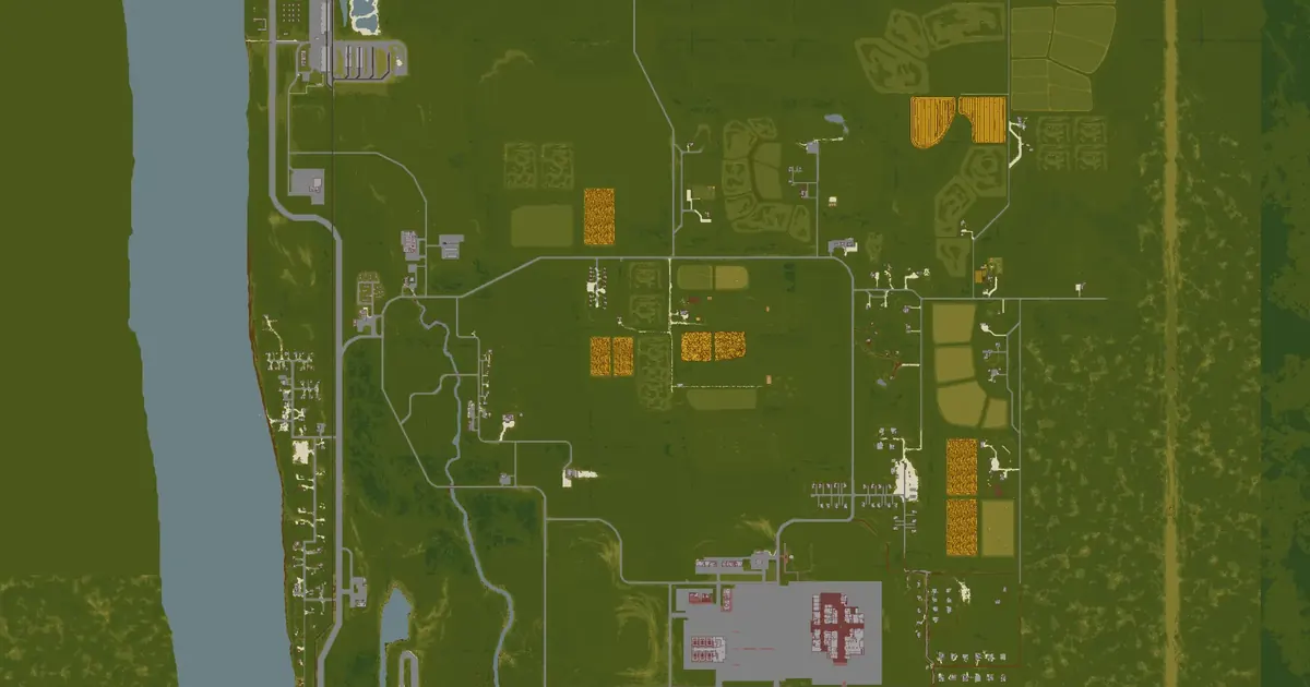 Valley Station map3,062 squares away
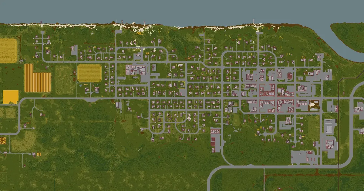 West Point map4,840 squares away
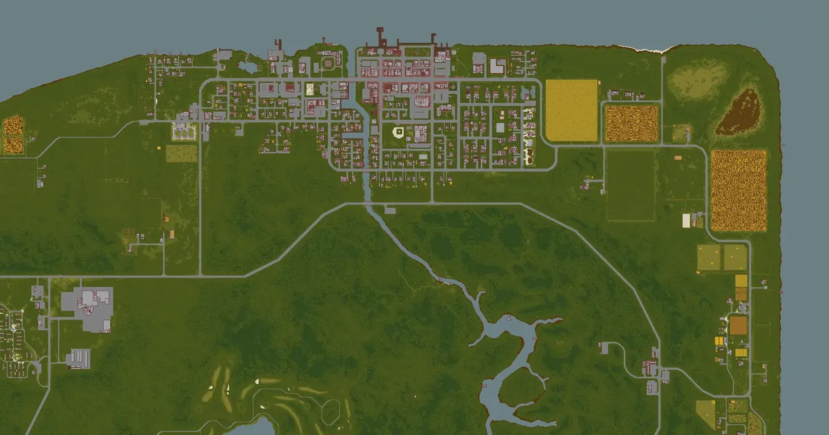 Riverside map7,356 squares away
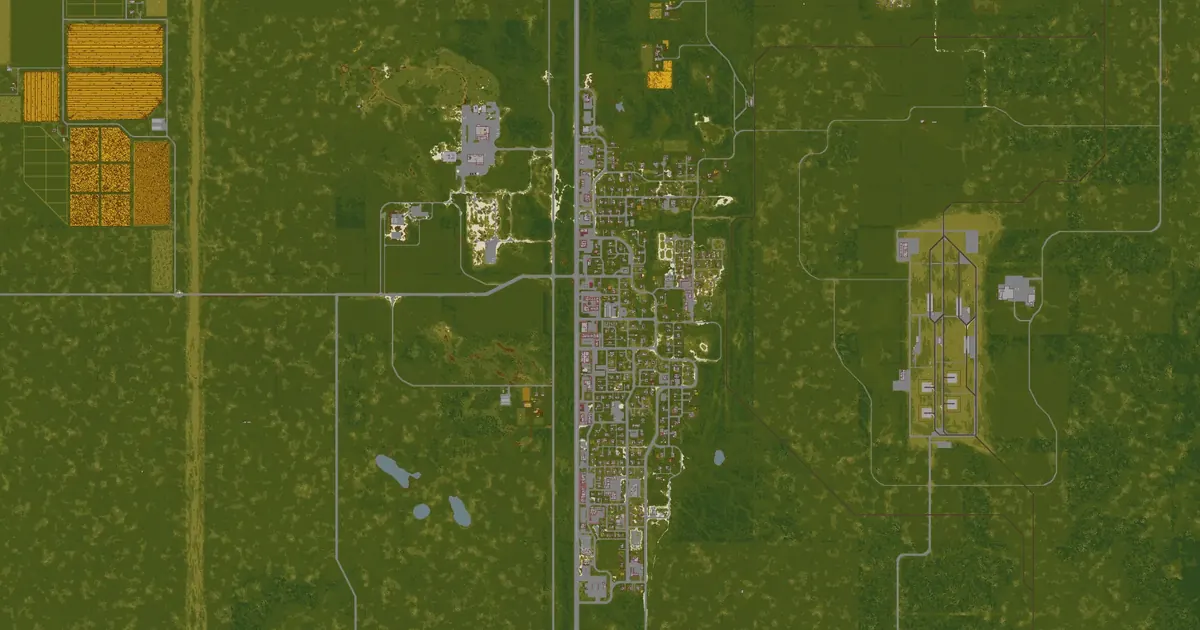 Muldraugh map8,031 squares away
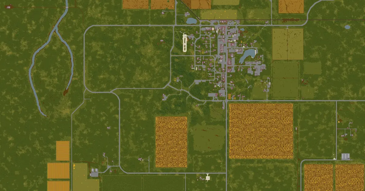 Fallas Lake map8,391 squares away
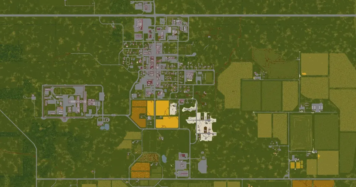 Rosewood map10,629 squares away
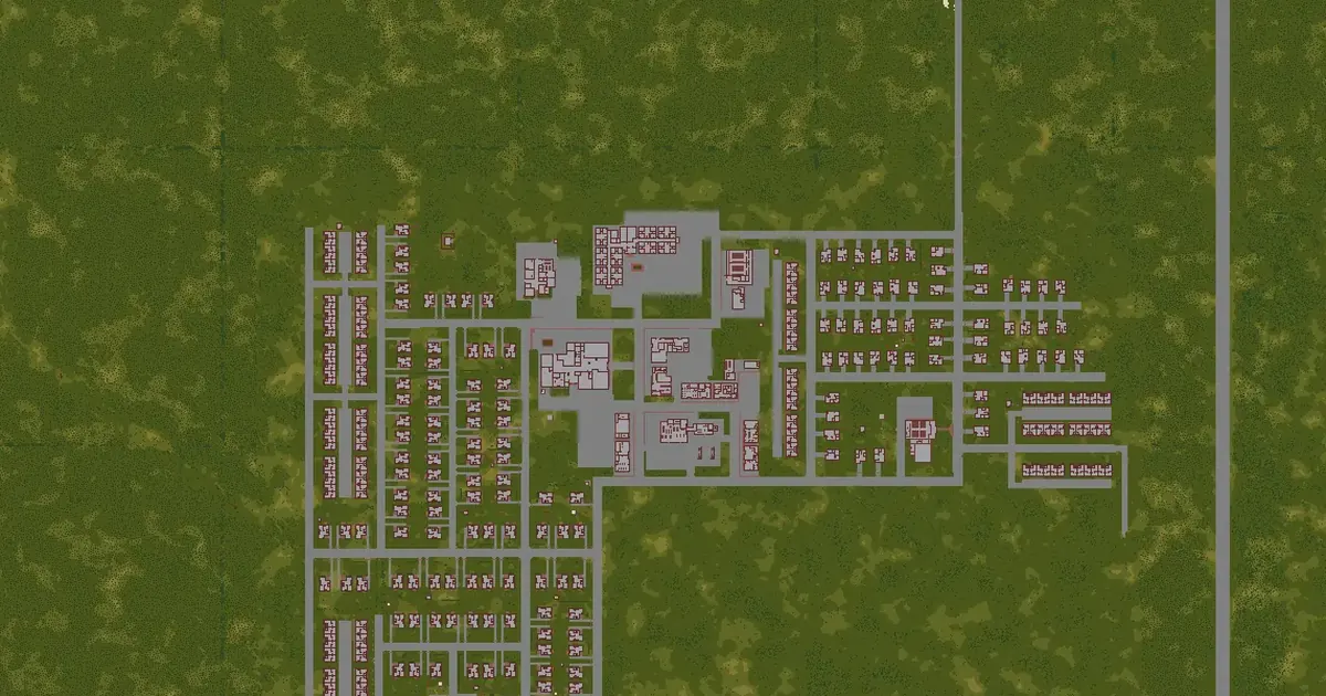 March Ridge map10,966 squares away
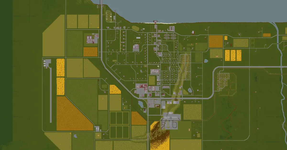 Brandenburg map11,668 squares away
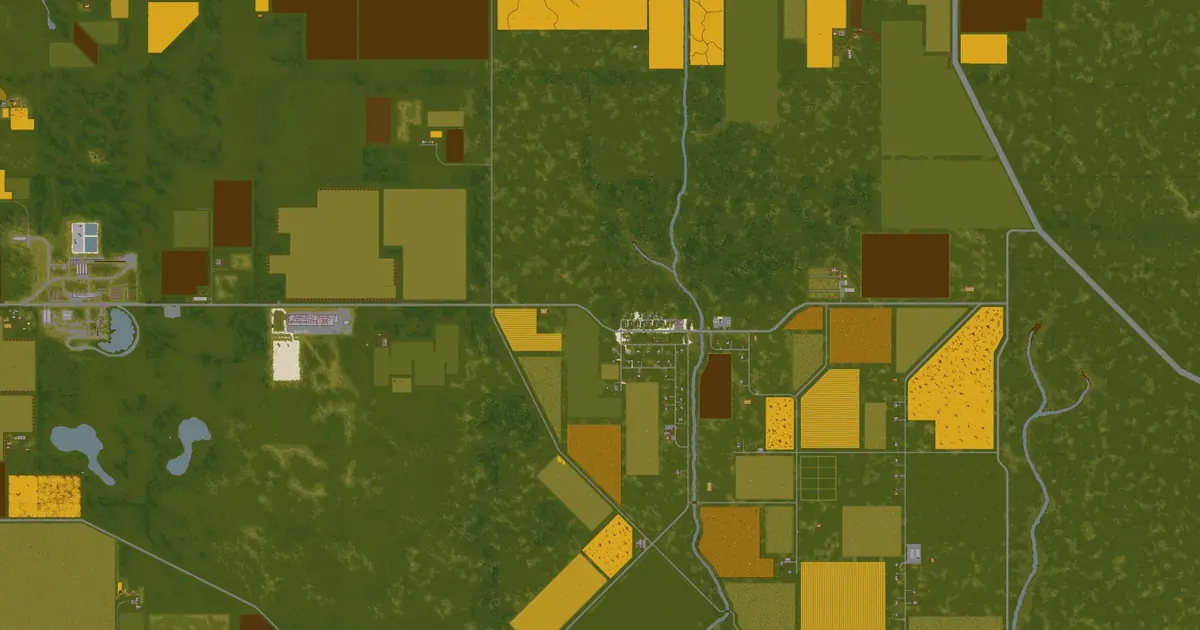 Echo Creek map12,882 squares away
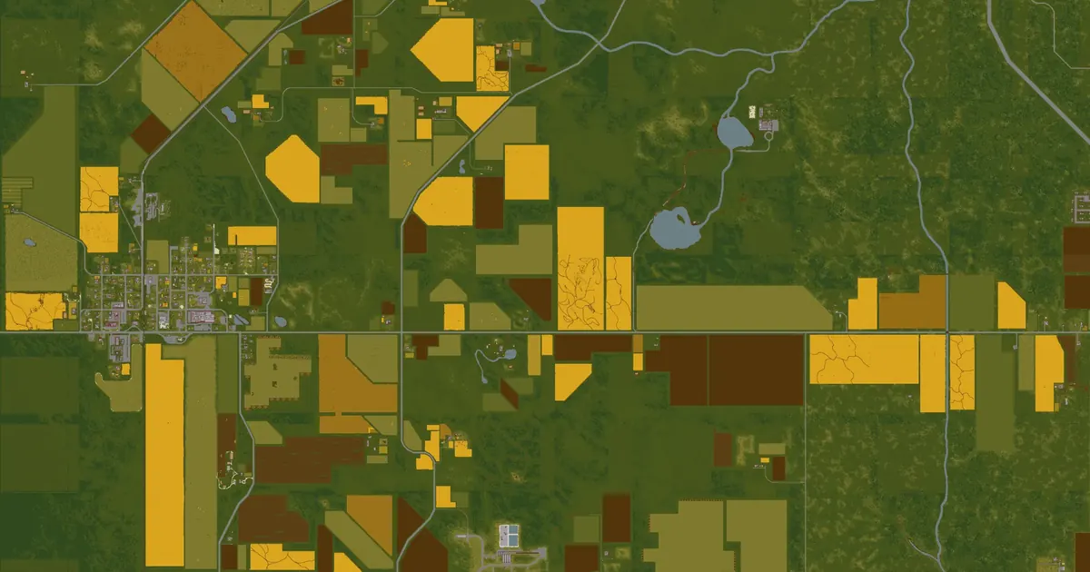 Ekron map14,533 squares away
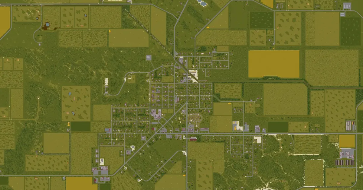 Irvington map16,005 squares away