Cookies.
We use essential cookies to keep auth and voting working. Optional analytics + error tracking help us improve. Choose what you're OK with — Essential + optional analytics. policycookie policy.
Loading interactive map…
307 places on the map belong to West Point, including 20 start points. A place counts as West Point's when it is within 1,200 squares of the town's label on the in-game map.
West Point has 1 police station, 2 gun stores, 4 medical sites, 2 pharmacies, 4 gas stations, 6 grocery stores, 1 electronics store and 1 tool store on the map — electronics stores are the only places whose loot tables hold generators.
Whether you're strolling through the town square, browsing stores, or just chatting with friendly locals - West Point is true Small Town USA. Don't let sleepy streets, affordable housing and acres of rolling farmland fool you: this is a Knox Country administrative hub. If our Mayor isn't busy rubber-stamping public ordinances in the Town Hall, you might just find him in the famous Twiggy's Bar! No matter how long your stay, a West Point welcome is guaranteed.— the game's own description of West Point
 1open them on the map
 4open them on the map
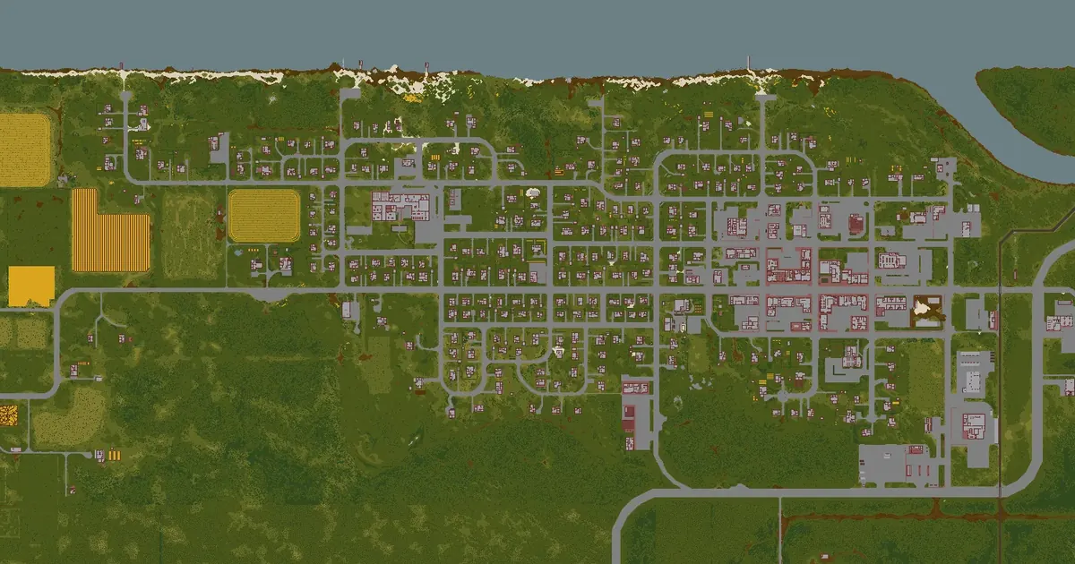
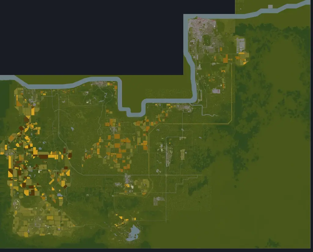
West Point is on the Ohio River, north of Muldraugh, east of Riverside and south of Valley Station and Louisville. The Dixie Highway (Route 31W) runs through its southern part and turns north. It is the easternmost start town.
PZwiki counts it among the hardest places in Knox County: zombies are everywhere and the suburbs are short on good melee weapons, so the wiki does not recommend it for a first game. The crowd comes with more loot — firearms especially, with guns and ammunition common even in houses.
Adapted from PZwiki, West Point (CC BY-NC-SA 3.0); this section is shared under the same licence.
Each tile opens that layer on the county map.
Police stations in West Point (1) Gun stores in West Point (2)
 Gun lockers & armories in West Point (2)Medical buildings in West Point (4)
 Pharmacies in West Point (2)
 Fire stations in West Point (1)
 Gas stations in West Point (4)
 Grocery stores in West Point (6)
 Tool stores in West Point (1)
 Electronics stores in West Point (1)
 Car repair in West Point (6)
The game files give each building's rooms but not the name on its sign. These are the named businesses and landmarks PZwiki lists for West Point, at the wiki's coordinates, each checked to sit at or next to a Build 42 building — open one on the map or copy the command that takes you there.
39 of 39 places
 American TireAuto shopon the map
 Ben's CabinIsolated forest cabinon the map
 BurgersFast foodon the map
 Coin Op LaundromatLaundromaton the map
 Conven-U-MartConvenience storeon the map
 Diner in the WoodsRestaurant/Picnic areaon the map
 Enigma BooksBook storeon the map
 Food MarketGrocery store+1 more locationon the map
 FossoilGas stationon the map
 GigaMartSupermarketon the map
 Hair O GenesisHairdresseron the map
 Hit Vids!Movie rentalon the map
 Knox BankBankon the map
 Mendy's EateryRestaraunton the map
 PharmahugPharmacyon the map
 Pile o' CrepePancake houseon the map
 Pizza WhirledPizzeriaon the map
 Seahorse CoffeeCafeon the map
 Spiffo'sFast foodon the map
 Stendo's Firearms EmporiumGun storeon the map
 The DrakeBaron the map
 Twiggy'sBaron the map
 West Point DIYHardware storeon the map
 West Point Town HallGovernment buildingon the map
 Zippee MarketConvenience storeon the map
Names, coordinates and shop signs from PZwiki, West Point (CC BY-NC-SA 3.0), shared under the same licence.
The game's building files put 429 buildings with 2,745 rooms within 1,200 squares of West Point's label, of 141 kinds. These kinds of room are in no more than one other town:
The closest of each, anywhere in Knox County, measured in a straight line from the town's label.
Police stationPolice station · 160 squaresMedical buildingMedical clinic · 160 squaresPharmacyPharmacy · 220 squaresGas stationThunder Gas station · 174 squaresGrocery storeButcher · 101 squaresGun storeGun store · 446 squaresElectronics storeElectronics store · 214 squaresTool storeTool store · 323 squaresFire stationFire station · 644 squares Military siteMilitary site · countryside, 2,723 squares
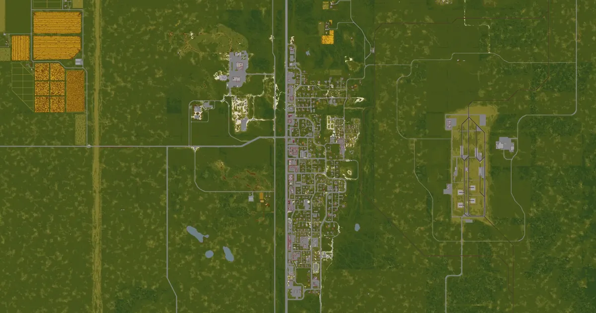
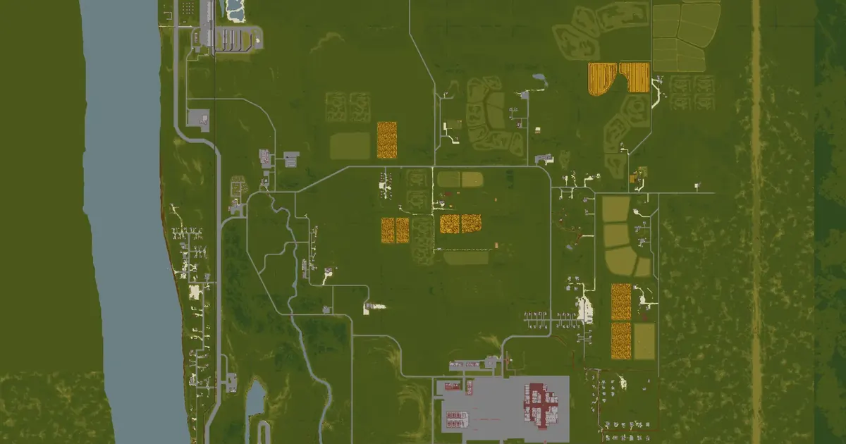 Valley Station map2,394 squares away
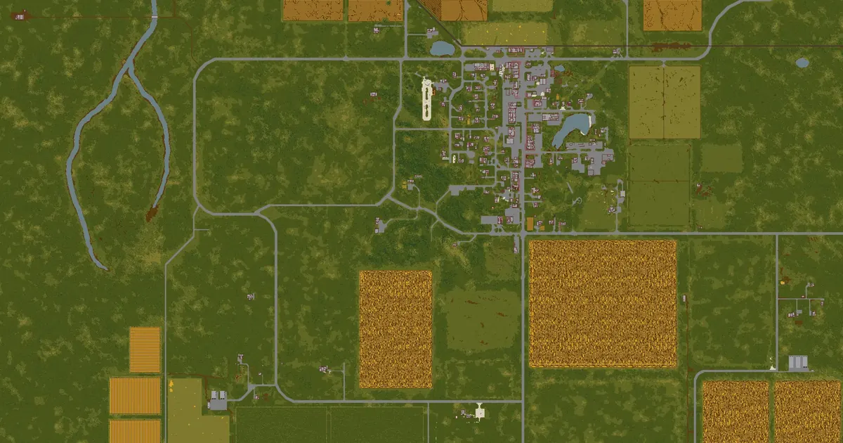
 Muldraugh map3,192 squares away
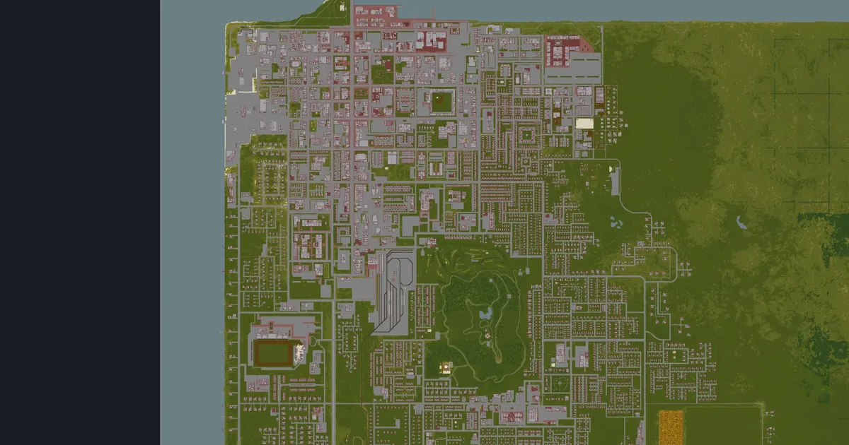
 Fallas Lake map4,623 squares away
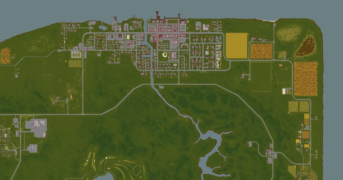
 Louisville map4,840 squares away
 Riverside map5,398 squares away
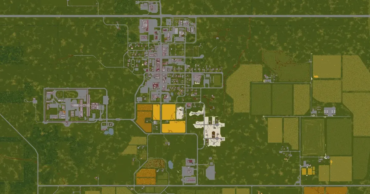 Rosewood map5,935 squares away
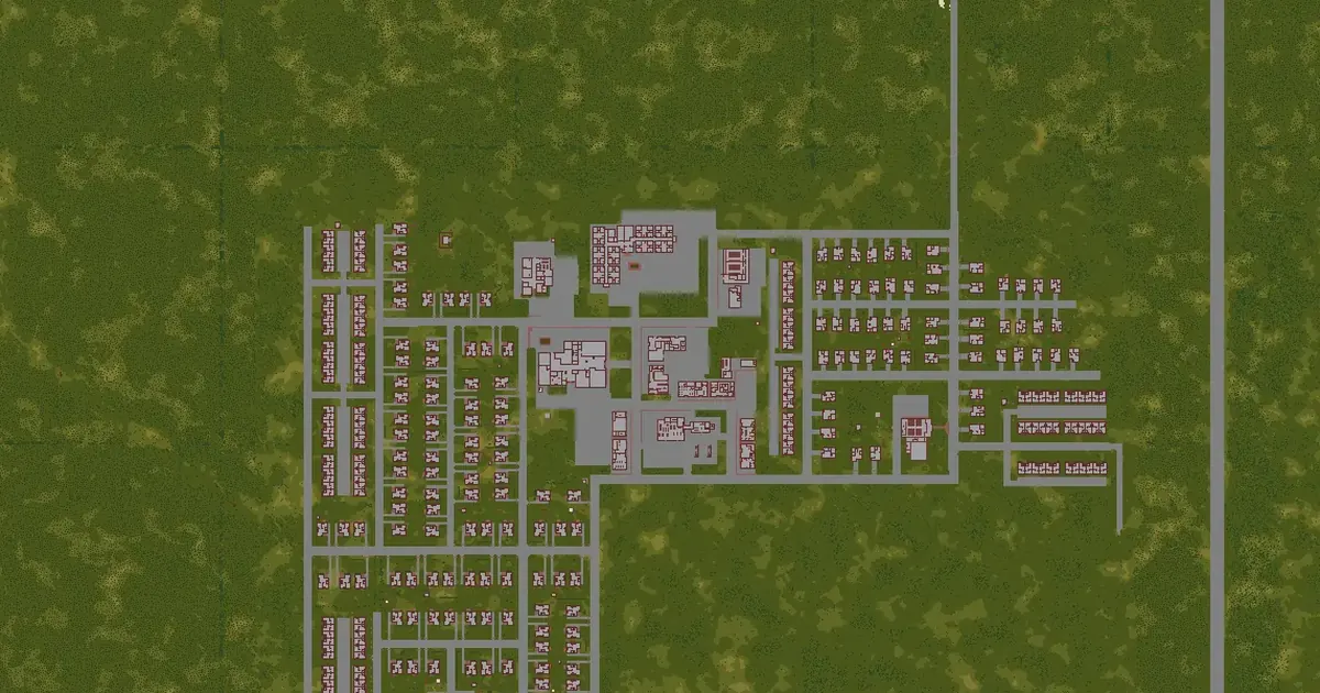 March Ridge map6,129 squares away
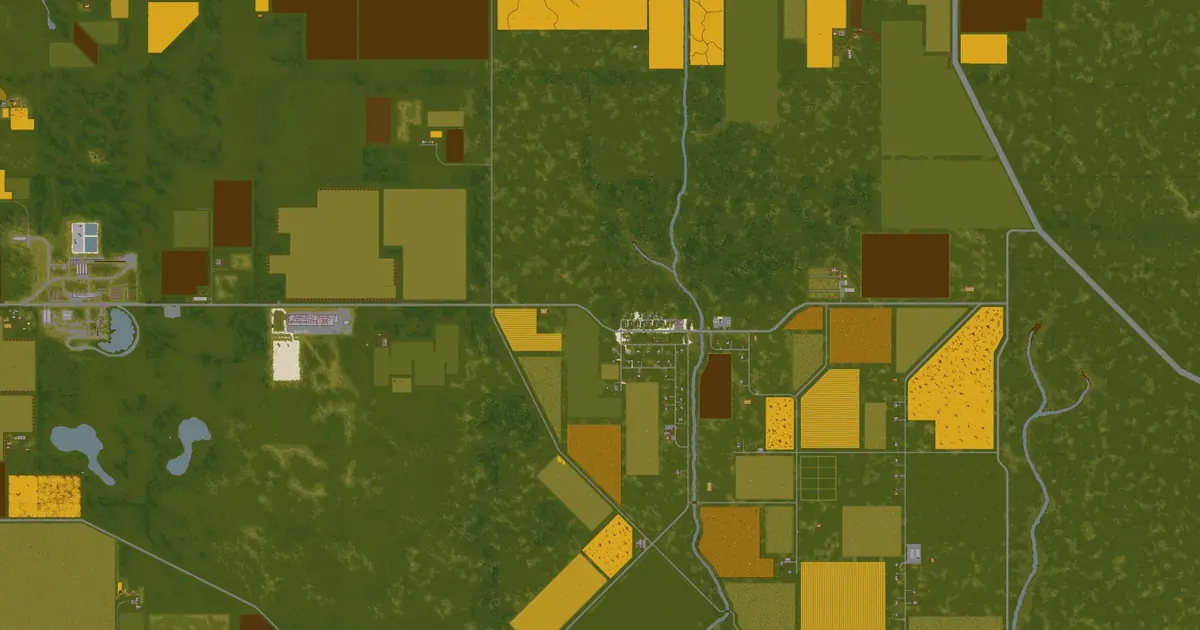 Echo Creek map9,042 squares away
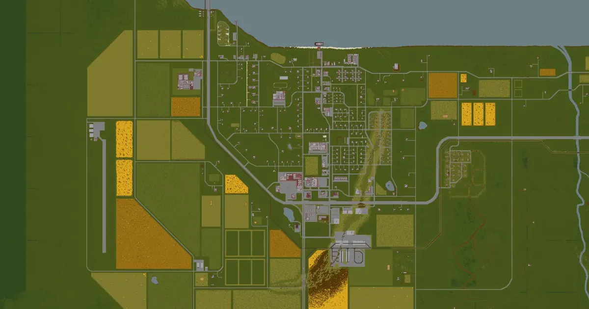 Brandenburg map9,631 squares away
 Ekron map11,391 squares away
 Irvington map11,779 squares away